Creating Consistent Existing Conditions

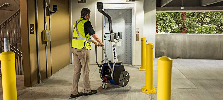
When talking about renovations and one-off projects, it’s easy to choose any number of methods to capture the existing conditions, to better understand the space prior to remodeling or adaptive reuse. To that end, BuildingPoint’s Spatial Scanning Services provide a fantastic option in these situations, where a precision point cloud is combined with color imagery and low-detail models to create intuitive floorplans and other custom deliverables. But what happens for projects that span numerous or even hundreds of sites? How does a facilities or operations team effectively create a true baseline that can be used to evaluate and manage a massive portfolio of properties with varying and disparate degrees of documentation?
In this daunting scenario, Spatial Scanning provides a fantastic foundational baseline that can be used to place every property on an equal footing of documentation. Because of the rapid speed and quick data processing provided by Spatial Scanning, it’s remarkably easy to capture a number of facilities in a short amount of time.
Spatial Scanning is a great answer one of the most vexing questions posed to building managers. “Where do I start?” With similar data and metrics being captured and documented at each location, stakeholders now have a common baseline to create or refine their existing documentation across the entire portfolio.
And because Spatial Scanning is a truly all-encompassing initial dataset, your building documentation can change or evolve over time, without having to invest in further measurements and analysis. “Scan Now, Analyze Later” becomes ever more important as multiple locations are included in the portfolio. With this technology, you already have the data you need as your portfolio adjusts to match the ever-changing requirements within the commercial market space.
To learn more about Spatial Scanning, check out our mini-site by clicking the link below, or contact your BuildingPoint representative today.
